
Alaska 2008
Teslin, YT to Haines Junction, YT
7 July 2008
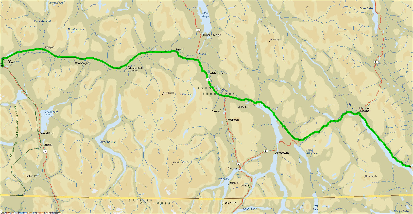
Route Map
Destination Map
Route Information
City/Town |
Points of interest |
Distance From |
Miles/Km |
Waypoint |
State/ |
Highway |
|---|---|---|---|---|---|---|
| Teslin, YT* | Yukon Motel & RV Park | Home Haines Junction |
4367/6987 206/330 |
60.168 N 132.708 W |
YT |
YT 1 (Alaska Highway) |
| Johnsons Crossing, YT* | Home Teslin Haines Junction |
4399/7038 32/51 171/274 |
60.482 N 133.307 W |
YT | YT 1 | |
| Jakes Corner, YT* (Junction Tagish Road) |
Carcross - Tagish Loop Road | Home Teslin Haines Junction |
4227/7083 60/96 146/234 |
60.340 N 133.984 W |
YT | YT 1 |
| Whitehorse, YT* | Home Teslin Haines Junction |
4484/7174 108/173 98/157 |
60.685 N 135.060 W |
YT | YT 1 YT 2 (Klondike Highway) |
|
| Otter Falls Cutoff* (Jct Aishihik RD) |
Home Teslin Haines Junction |
4552/7283 185/296 21/34 |
60.854 N 137.032 W |
YT | YT 1 | |
| Haines Junction, YT* | Kluane RV Kampground | Home Teslin |
4573/7317 206/330 |
60.753 N 137.510 W |
YT | YT 1 YT 3 (Haines Road) |
| *Fuel Available |
Photographs and Commentary
Click on pictures to enlarge
Last night the skies cleared and a wind came in from the west that rocked the trailer. I believe the wind kept the temperature from dropping to the predicted 35° F. This morning we woke to sunny skies and a light breeze and temperatures in the low 40s. Our trip today was relatively short and took us on the Alaska Highway all the way to Haines Junction, our destination for the night. The first half of the trip took us to Whitehorse, the largest city and capital of the Yukon Territory. Having spent several days in Whitehorse in 2005, we stopped only for fuel and continued on. About 30 miles from Whitehorse we passed Marsh Lake and the Yukon River. These two bodies of water comprise part of the route used by the Stampeders (1898 Klondike Gold Rush prospectors) to go from Skagway and Dyea, Alaska to the Gold fields near Dawson. See our 2005 Trip to Alaska for more on Whitehorse and Dawson.
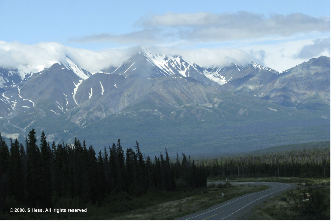
The Alaska Highway is significantly different from the Cassiar Highway in that it is wider, has some shoulders for most of the route and is in much better condition. Leaving Whitehorse we passed the intersection of the North Klondike Highway which leads to Dawson City. The second half of the trip, from Whitehorse to Haines Junction was a little rougher, but not a problem. We did have to slow down periodically for gravel patches and frost heave bumps. At Haines Junction, the Alaska Highway intersects with the Haines Road that leads to Haines, Alaska. As you head north, the Alaska Highway makes a right turn. Continuing straight will lead down the Haines Highway. The Haines Highway is an alternative route further into Alaska. The Alaska Marine Highway (state ferry) can take you from Prince Rupert or further south to Haines where you continue on to the Alaska Highway. We thought about doing that route from Prince Rupert, but the cost of the truck, trailer, stateroom and our passage was nearly $2,000 so we opted for the Cassiar Highway, which cost us less than half.
We saw very little wildlife along the route today. The one sighting we had was of a lone wolf just inside the forest bordering the highway. Let's say that we are pretty sure that it was a wolf in that it was much larger than a dog and there were no towns on this stretch that would be a home to a dog.
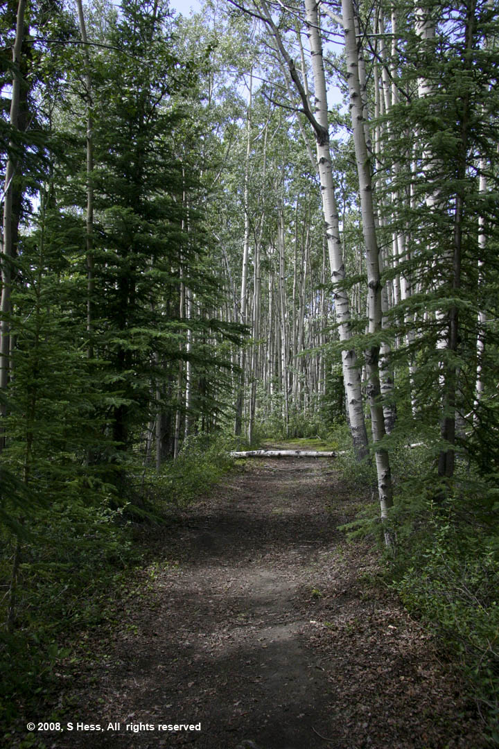
Haines Junction is the gateway to Kluane National Park which abuts the Wrangell-St. Elias National Park in Alaska. Together these two parks along with Glacier Bay National Park and British Columbia's Tatshenshini Alsek Park are a UNESCO World Heritage site. Kluane National Park contains some of the highest peaks in Canada, including Mount Logan (19,551 ft), the highest in Canada and second tallest in North America. To say that the campground is close to the park would be an understatement. About 50 feet from the door of our trailer is a 5 Km hiking trail into the park. We decided to hike the trail and only saw a chipmunk and what I think was a Ptarmigan. The view from some parts of the trail of the mountains and the Dezadeach River were just beautiful. In fact, looking southwest from the campground, all you see are forests and mountain vistas.
Alaska Highway Scenes
Pictures by Susie

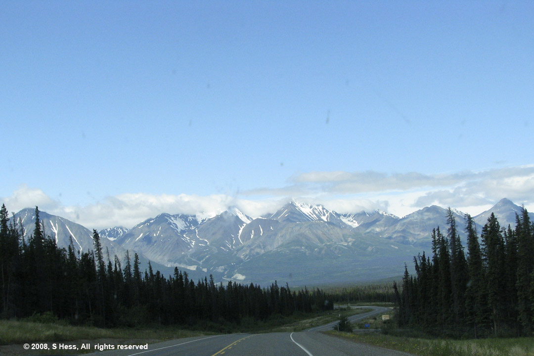
Mountains overlooking the Alaska Highway between Teslin and Whitehorse
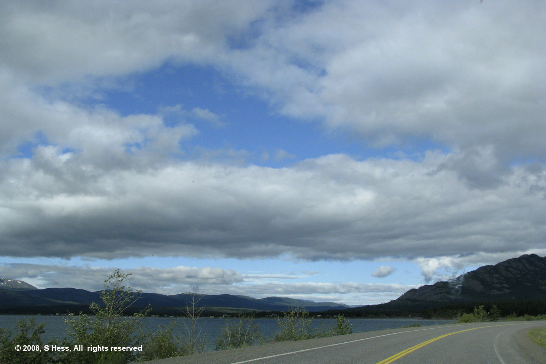
Marsh Lake, south of Whitehorse
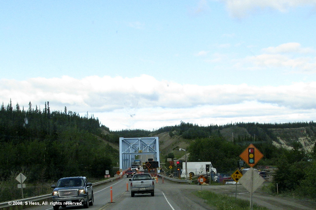
The Yukon River Bridge under repair. No flag persons to yell at me, just a light that even has a timer to tell you how long before you can proceed.
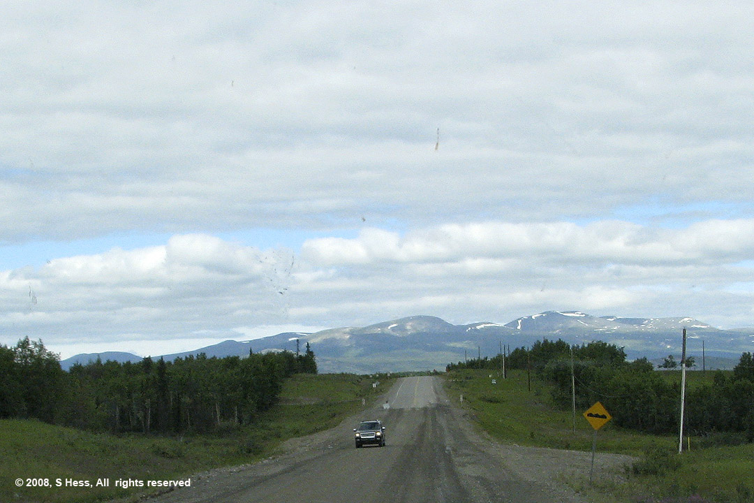
One of several gravel patches on the highway. The longest of these was only a few hundred yards.
Haines Junction
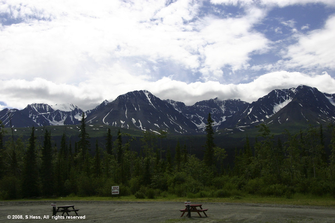
The view from our campground. The Kluane National Park begins at the tree line
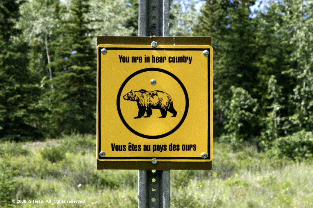
A friendly warning on the trail in Kluane National Park.
We didn't know that bears spoke French.
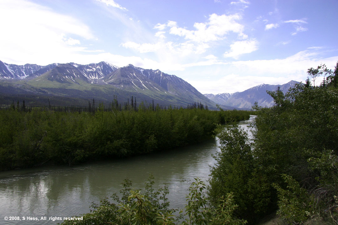
View just off the trail
Right, On the trail
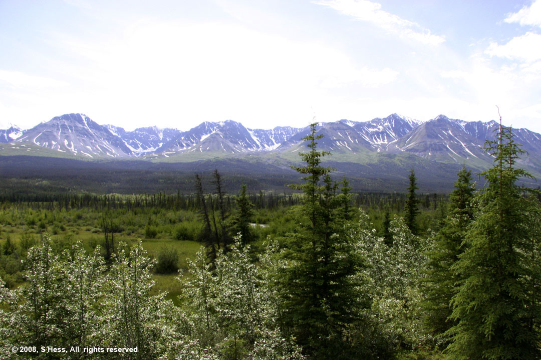
View of the mountains and forests of Kluane National Park. There must have been a forest fire here a few years back because there are a lot of burned trees in the area and the rest look like they are relatively young.
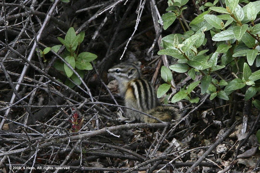
Vicious Chipmunk
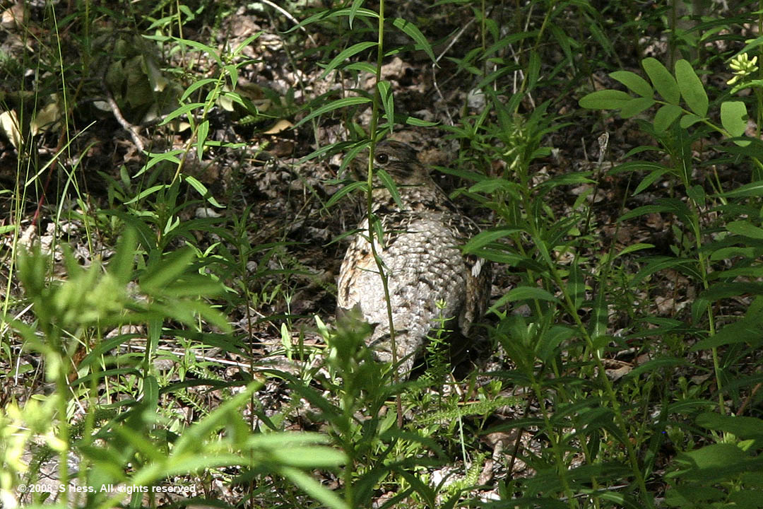
Ptarmigan
Seen on the Road

Susie took this picture of the smallest teardrop trailer we ever saw. I spoke to them and was told that the trailer will easily accommodate a six footer. This is the couple's second trip to Alaska with this combination. They will spend five weeks living in this trailer... Not for us.